The property.
The bigger picture.
Show the lot, the setting, and what’s nearby. Start with an address. Add your name. Choose the views that matter.
Open the studio →Salt Lake County pilotA listing has an address.
Give it some context.
Aerial views make it easier to understand a property. Parcel outlines show the lot. A wider view brings a nearby park or school into the picture.
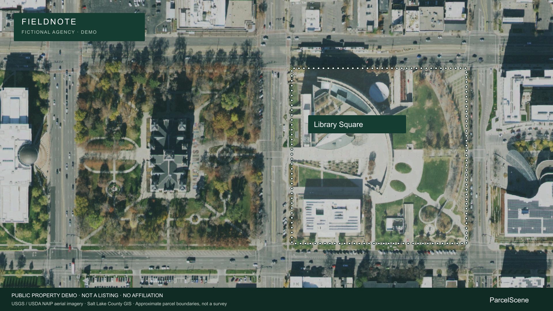
A clear outline. Your branding.
Library Square, Salt Lake City. An actual public-property parcel, used here as a demo.
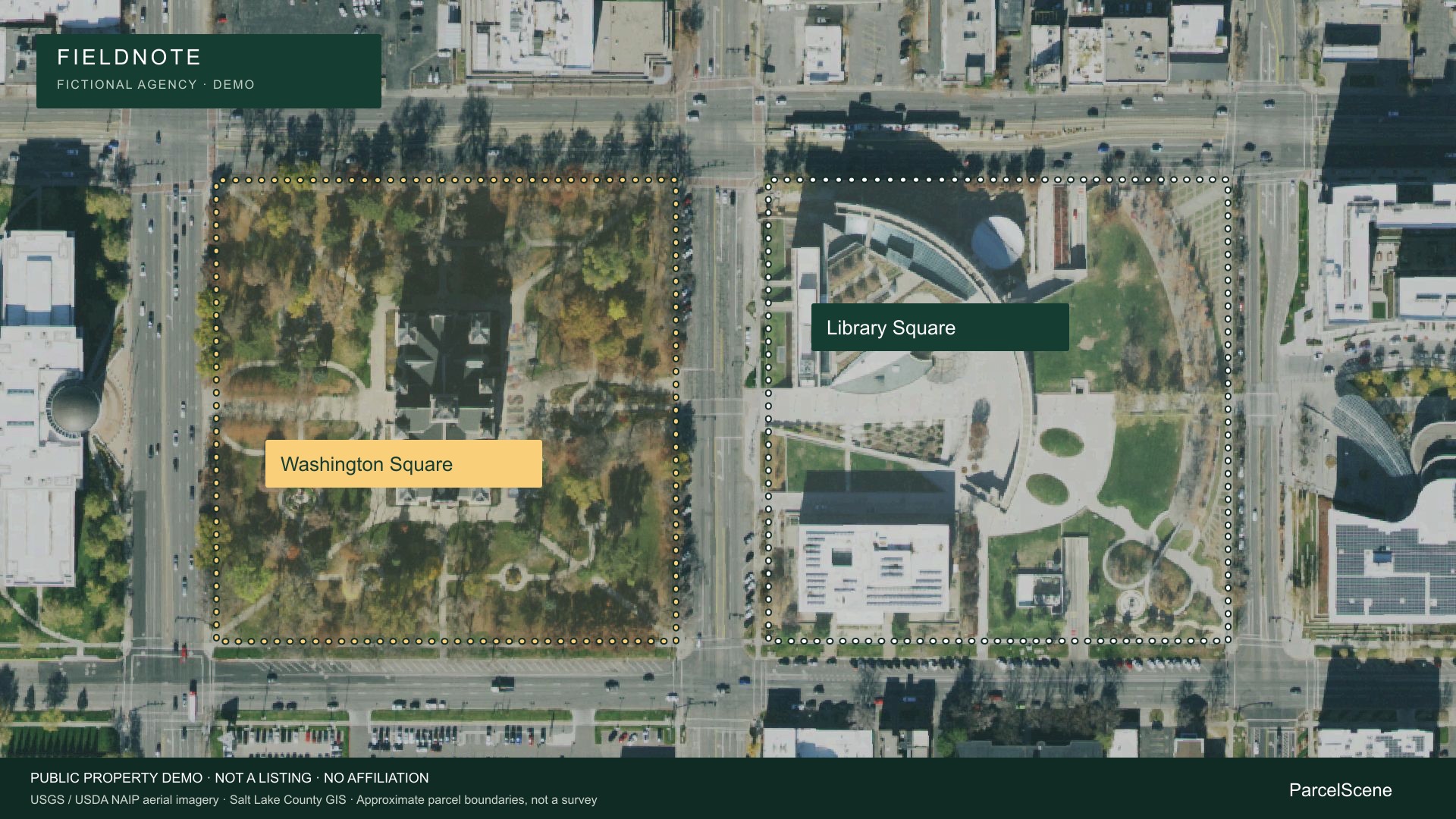
Show what’s around it.
Washington Square sits across the street. Both county parcels are outlined in one view.
Start with one address.
- Find the property
Check the address and county parcel outline.
- Choose your views
Move from the lot to the surrounding neighborhood.
- Make it yours
Add your name and company, then save your draft.
Available now: parcel lookup, aerial previews, saved branding and project drafts. Image, PDF and video exports are in development.
Try ParcelScene →About these examples
Library Square and Washington Square are public-property examples, not listings. Fieldnote is fictional demo branding; no affiliation or endorsement is implied. The animation pans and zooms an overhead photograph.
Imagery: USGS / USDA NAIP, The National Map (public domain). Parcel outlines: Salt Lake County GIS snapshot, September 2026. Boundaries are approximate and are not a survey. A park’s county parcel is not necessarily its managed park boundary. Imagery may predate the parcel data.